
How to find photos by where and when you took them, on a Mac
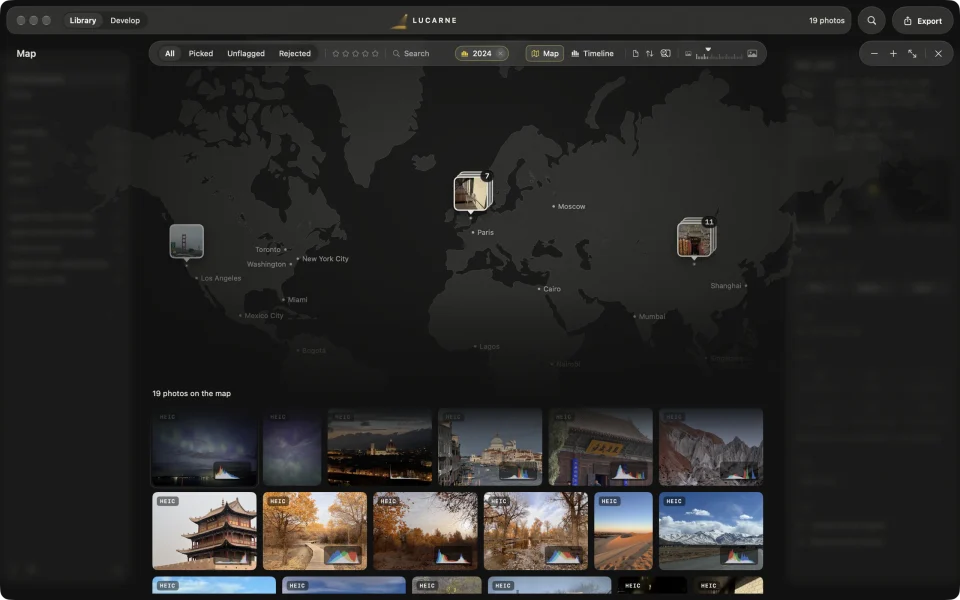
In Lucarne’s library, press M to open the map: your photos appear where they were taken. Press T for the timeline: they pile up by when they were taken. Move or zoom the map, or choose a span of time, and the library below shows only those photos. The map is drawn on your Mac without going online, and where your photos were taken is never uploaded. Lucarne is a free photo editor for the Mac, with a full photo library.
On the map
Phones and many cameras record where each photo was taken. Open the map, and those photos gather at their places, each group with its count.
- Filter by looking. Move or zoom the map, and the library shows only the photos in view.
- Click to select. Click a group to select its photos, then rate, tag, or export them.
- Double-click to look closer. The map zooms in on that area and the group spreads out; double-click a single photo to edit it.
- Use the trackpad. Pinch to zoom, drag to move.
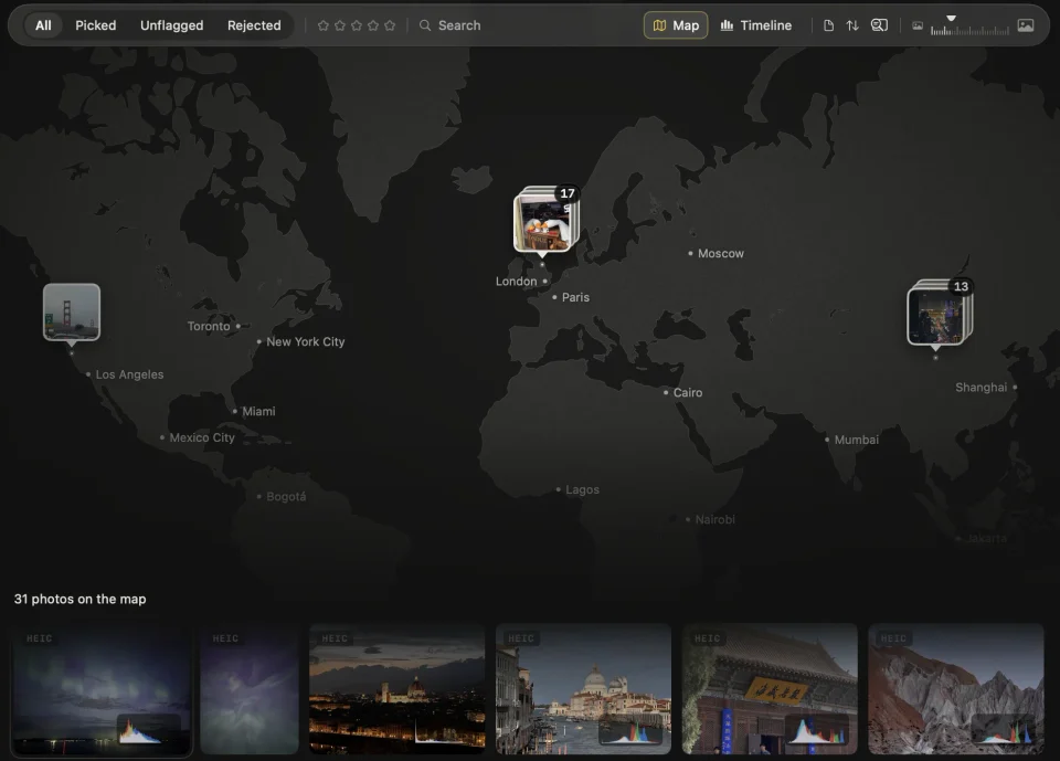
The map draws land, rivers, lakes, and the names of cities, and nothing else: no roads, no borders, no country names. It stays quiet, and your photos stand out.
In time
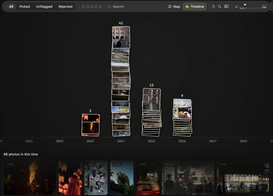
The timeline lays your photos out in piles by when they were taken: a pile for each year, month, day, or hour.
- Zoom smoothly from several years down to the hours of a single day.
- Click a pile to select the photos of that time; double-click to open it up into finer piles.
- Choose a span. The photos in the timeline’s span are the photos the library shows.
Both together
Select a year on the timeline, then open the map: it shows only the photos of that year, so you see at a glance where you went. When you close the map or the timeline, what you chose stays in the filter bar, alongside filters for stars, flags, tags, and cameras, until you clear it with a click.
Select a single photo, and the panel on the right shows a small map and the city it was taken near.
Your places stay on your Mac
Where a photo was taken can say more than the photo itself. Lucarne draws its map on your Mac from Natural Earth’s public-domain map data, installed with the app. Opening the map goes online for nothing, calls no map service, and uploads no locations.
When you export, you choose whether a photo keeps where it was taken; it doesn’t by default. Photos you share online don’t give away your home or your travels by accident.
How other apps do it
| App | Map | Browsing by time | Price |
|---|---|---|---|
| Apple Photos | Apple Maps, loaded online | Years, months, and days views | Comes with the Mac |
| Lightroom Classic | Map module, Google Maps, loaded online | Filter by date | Subscription |
| Google Photos | Photos stored in the cloud | Browse by date | Limited free storage, more by subscription |
| Lucarne | Drawn on your Mac, offline | Timeline, from years to hours | Free |
Questions
- Does the map need the internet?
- No. Its data is installed with Lucarne and drawn on your Mac, so it works offline.
- Are the places my photos were taken uploaded?
- No. Locations stay on your Mac; when you export, you choose whether to include them, and by default they are left out.
- What about photos without a location?
- They don't appear on the map, but if they recorded when they were taken, they appear on the timeline.
- Can I add a location to a photo by hand?
- Not yet. The map shows the locations recorded when the photos were taken.
- Is Lucarne free?
- Yes. The library, the map, the timeline, editing, and export are all free.